Why Google’s Street View has been rejected by the Indian government

Getting a panoramic view of an Indian street on Google Maps continues to remain a dream for many, with the Union Home Ministry rejecting the Internet giant's appeal to launch the service in India. Google’s plan to put Indian cities, tourists spots, hills and rivers on an application was shot down by security agencies and defence forces in India, who believe that allowing such image-capturing may compromise the country’s security interest.

The Internet services giant wanted to cover most of the Indian territory through the Google Street View. It explores places around the world through a 360-degree, panoramic view with street-level 3D imagery. Everything taken would be posted online and it has been used extensively in the United States, Canada and many European countries. It was initially permitted in India for a few locations.
We have listed some developments in India so far:
- The 2008 terrorist attacks in Mumbai seemed to have involved photographic reconnaissance of targets by Pakistani-American David Coleman Headley. Authorities fear that Google Street View allowing users to view India in such a 360-degree, panoramic view would compromise its security.
- Terrorists can misuse the street views and plan terror attacks with accuracy. Google Street View displays panoramas of stitched images, and the streets that are viewed with Street View imagery are shown as blue lines on Google Maps. Most photography is done by car, but some are done by trekker, tricycle, walking, boat, snowmobile, camel, and underwater apparatus.
- The terror attack at the Pathankot airbase in January this year also raised security concerns, because according to investigating agencies, terrorists used Google Maps as they were aware of the airbase’s topography.
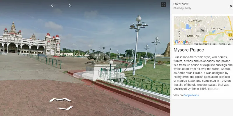
- On an experimental basis, Google had launched Street View in tourist sites like Taj Mahal, Red Fort, Qutub Minar, Varanasi river bank, Nalanda University, Mysore Palace, Thanjavur temple, Chinnaswamy stadium, besides others, in partnership with the Archaeological Society of India. Terrorist and criminals can use this service as virtual reconnaissance.
- Indian defence installations, nuclear power plants and other “sensitive” locations were visible on Google’s online map, which came under scanner of Delhi High Court in January this year.
- The government has also expressed concern over a few social networking sites showing Jammu and Kashmir and Arunachal Pradesh as part of Pakistan and China respectively.
- The government has proposed the Geospatial Information Regulation Bill under which wrong depiction of India’s map could land the violators in jail with a maximum term of seven years and fine upto Rs 100 crore.
Launched in May 2007 using immersive media technology in US, Google Street View service is available in 76 countries across the world. Historically, Street View was introduced in a Google-sponsored Stanford University research project, The Stanford CityBlock Project, which ended in 2006.
Last year, Google Street View partnered with environmental monitoring company Aclima, which allowed cars to carry sensors to detect pollutants such as nitrogen dioxide, ozone, and particulate matter. In October 2015, Google announced its support for Cardboard, enabling users to explore street view in 360-degree virtual reality.